Where Monsoon Water Turns to Stone: Dhofar’s Karst and Tufa Cliffs Join the World’s Top 100 Geological Sites
Selected by the International Union of Geological Sciences among the planet’s foremost natural archives, the limestone plateaus and 100-meter tufa dam of Wadi Darbat preserve millions of years of Arabian climate history.
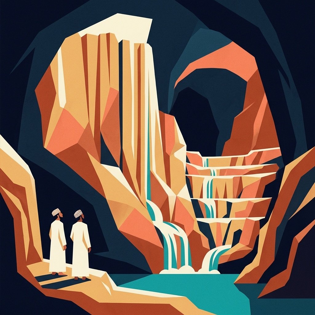
Stand at the edge of Wadi Darbat after the late-summer Khareef mists lift, and the cliff ahead looks almost poured rather than carved. Curtains of porous pale limestone hang in fluted folds over pools of clear green water, dropping more than a hundred meters toward the valley floor. What appears at first glance to be an ancient waterfall frozen mid-plunge is, in geological terms, remarkably close to that: a living travertine and tufa barrier built grain by grain as mineral-rich spring water meets the open air.
This November, the International Union of Geological Sciences (IUGS) formally placed the karst landscapes and tufa deposits of the Dhofar Mountains on its Third List of the Top 100 Geological Heritage Sites in the world. Announced on 6 November in Loulé, Portugal, during an international gathering hosted by the Algarvensis Geopark with 156 specialists from 49 countries, the selection places southern Oman alongside planetary landmarks such as Japan’s Mount Fuji, the fjords of Norway, California’s San Andreas Fault, Argentina’s Aconcagua, and the Chocolate Hills of the Philippines. Across the third global cohort, 100 sites were chosen across 47 nations, including only six in the Middle East.
Born From the Opening of an Ocean
To understand why earth scientists regard Dhofar as irreplicable, one has to look beneath the seasonal green pastures to the tectonic forces that lifted them. Resting atop ancient Precambrian basement rock, thick beds of marine limestone were pushed more than 1,000 meters above sea level as the Arabian and African plates pulled apart to open the Gulf of Aden.
Along stretches of the southern coast, that uplifted plateau drops abruptly into the Arabian Sea in sheer escarpments. Near Salalah, it steps back behind a coastal plain roughly 20 kilometers wide. Over geological epochs spanning the Neogene and Quaternary periods, rainwater and seasonal monsoon moisture worked steadily into the fractured limestone, dissolving sinkholes, deep shafts, collapsed dolines, and winding cave networks cut by steep gorges.
Dr. Mohammed bin Hilal Al Kindi, President of the Earth Sciences Consultancy Centre in Muscat, who contributed to the international nomination file led by Professor Andrea Zerboni of the University of Milan alongside researchers from Italy, France, and the United States, points to that rare convergence of deep earth movement and surface weather.
“The scientific value of the Dhofar Mountains lies in bringing together in a single landscape the imprint of tectonic processes and climate,” Dr. Al Kindi explained. “The opening of the Gulf of Aden lifted the plateau and shaped its southern rim, while shifting climate conditions sculpted the karst plateau and its tufa dams.”
Wadi Darbat’s Living Limestone Dam
Among all the formations documented in the IUGS dossier, none rivals the tufa barrier at Wadi Darbat. Stretching roughly 800 meters across the course of the wadi and rising higher than 100 meters, it ranks among the largest natural travertine dams on Earth—and stands out even more sharply because it sits along the southern margin of an otherwise arid peninsula.
The dam began forming during wetter intervals of the Middle Pleistocene, when groundwater saturated with dissolved calcium carbonate emerged from karst springs and precipitated fresh layers of stone across the valley threshold. Unlike fossilized formations that stopped growing millennia ago, parts of the Darbat system wake up every Khareef season, laying down delicate new mineral crusts as monsoon-fed streams spill over the lip.
Inside the surrounding gorges, caves and rock shelters hold an equally prized archive. Mineral cave formations—stalagmites and flowstones—together with layered cave sediments allow paleoclimatologists to reconstruct rainfall shifts across southern Arabia over the late Quaternary. Those same sheltered overhangs preserve traces of early human habitation, linking shifts in ancient monsoon intensity directly to how prehistoric communities moved, settled, and survived across Dhofar.
An Open-Air Laboratory for Heritage and Geotourism
Since launching its global inventory in Zumaia, Spain, in 2022 and expanding it in Busan, South Korea, in 2024, the IUGS geoheritage program has drawn on more than 1,000 earth scientists across 90 countries and 20 international organizations to identify sites of benchmark scientific value.
For Oman, the listing reinforces years of field documentation while opening practical paths for conservation-minded travel. Eng. Ibrahim bin Said Al Kharusi, Undersecretary of the Ministry of Heritage and Tourism for Heritage, noted that international recognition broadens how people understand heritage itself—honoring natural formations shaped across millions of years alongside built monuments, and strengthening partnerships around geotourism, university field research, and public stewardship.
For families picnicking beside Wadi Darbat’s boats and cascades, the view needs no academic citation to command quiet awe. Yet knowing that those honey-colored cliffs record the birth of an ocean and the pulse of ancient monsoons gives every walk through Dhofar’s valleys a deeper sense of time.
Organization Design Expert in the Oil & Gas sector, with a passion for visual storytelling and creative content. Alongside his professional work in organization design, he is a skilled videographer and visual content creator, combining strategic thinking with a strong eye for compelling visuals.